iSWIM
integrated Service for Water
Quality Monitoring in Mamaia Bay

Areas of Benefits
iSWIM covers the following areas of benefits:
| Marine and Coastal Environment |
|---|
| Water Quality Pollution Tourism activities |
| Maritime Safety |
| Environmental Hazards Weather Forecasting Search and Rescue |
Description of the Services
iSWIM is an operational system enhancing the management, monitoring and forecasting of the bathing water quality in Mamaia Bay, Romania. Mamaia Bay is located by the Black Sea and is one of the biggest tourist resorts in Romania.
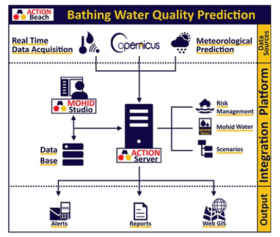
iSWIM integrates data from different sources, including numerical models forecasts and observations from monitoring stations and remote sensing. iSWIM provides high resolution forecasts of marine weather conditions, including surface currents, waves and wind and are calculated by numerical models.
For the regional hydrodynamic circulation forecast, iSWIM uses model data from the Copernicus Marine Service, which covers the entire Black Sea. These model data are then downscaled to the Romanian Coast using 3D high resolution models (~350m). These models, based on the MOHID Water Modelling System, have been implemented specifically for this project and produce daily 3 days forecasts.
Met-ocean forecasts are made available to the general public through maps and charts. Specific features allow authorized operators to use iSWIM for emergency response procedures (e.g. environmental hazards, search and rescue). A specific, mobile friendly, web page allows free access to data produced by iSWIM.
Please use the link below to access the iSWIM portal
Copernicus Marine Service Products
iSWIM uses data from the Copernicus Marine Service. Specific data sets used in iSWIM are:
- Black Sea Physics Analysis and Forecast
(BLKSEA_ANALYSIS_FORECAST_PHYS_007_001)
- Black Sea – High Resolution and Ultra Resolution L4 Sea Surface Temperature
(SST_BS_SST_L4_NRT_OBSERVATIONS_010_006_a_V2)
- Black Sea Waves Hindcast and Forecast
(BLKSEA_ANALYSIS_FORECAST_WAV_007_003)
Integration of Copernicus Marine Service information
iSWIM integrates the information from Copernicus Marine Service listed above for the following activities:
- Initialization for high resolution local numerical circulation models for the Romanian Coast and the Bay of Mamaia.
- Continuous model validation by comparing sea surface temperature satellite observations with numerical model forecasts.
- Forecast of waves for the Bay of Mamaia.
- Visualization, in form of maps and charts of the above-mentioned data sets.


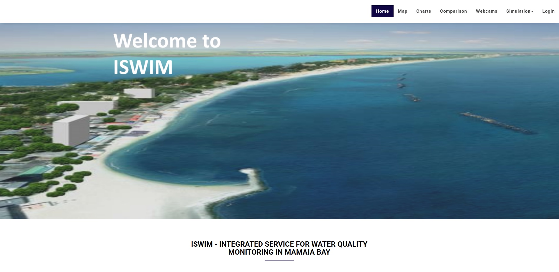
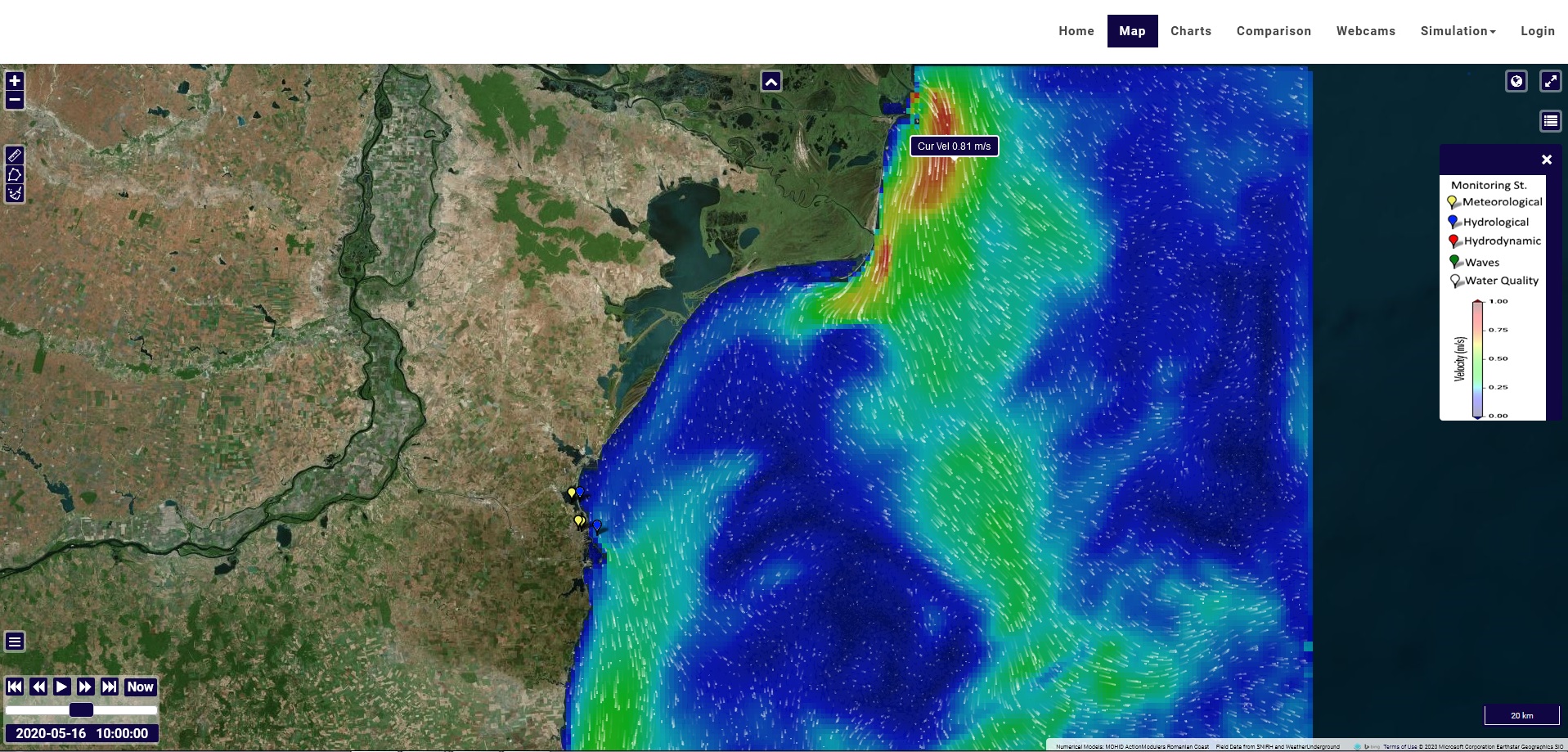
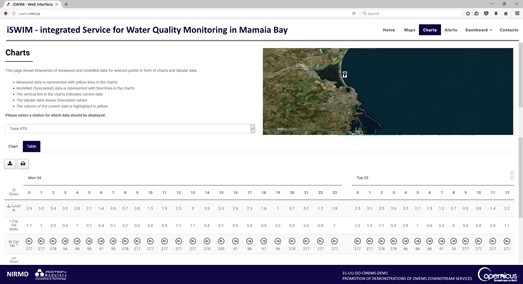
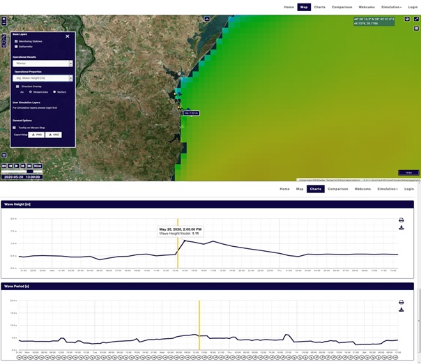
Illustrations
Examples of information provided by the iSWIM Platform.
iSWIM Media News


